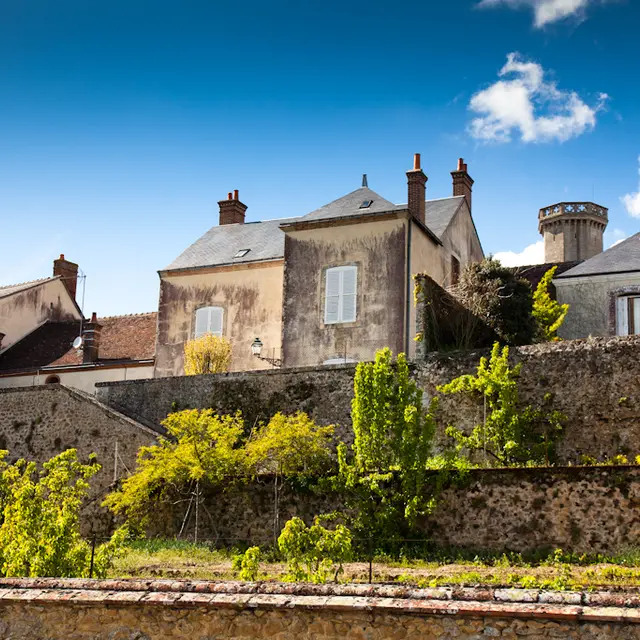
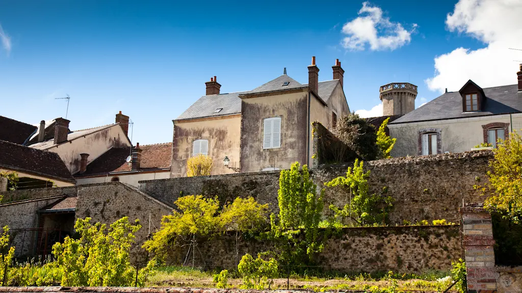
This is a route that is typical of the Perche Sarthois region, with its many nuances, where the roads will take you from villages to pretty country views.
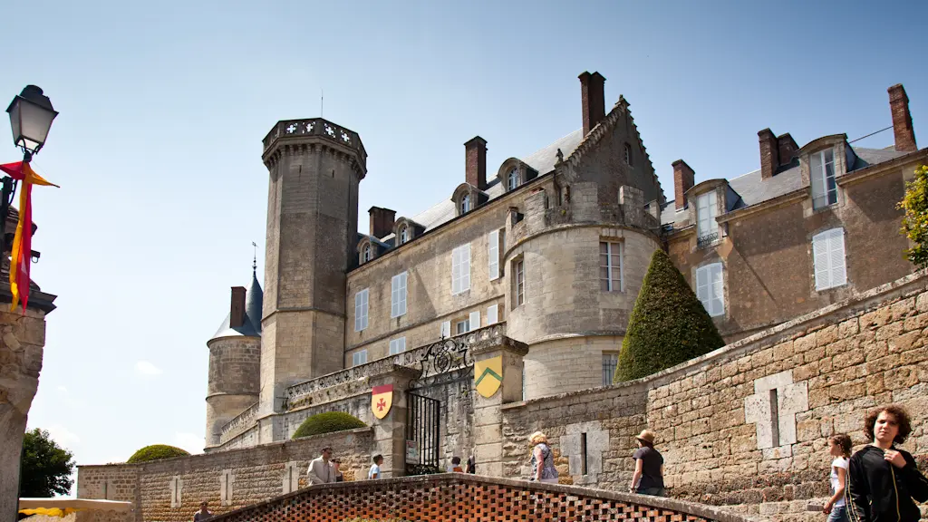
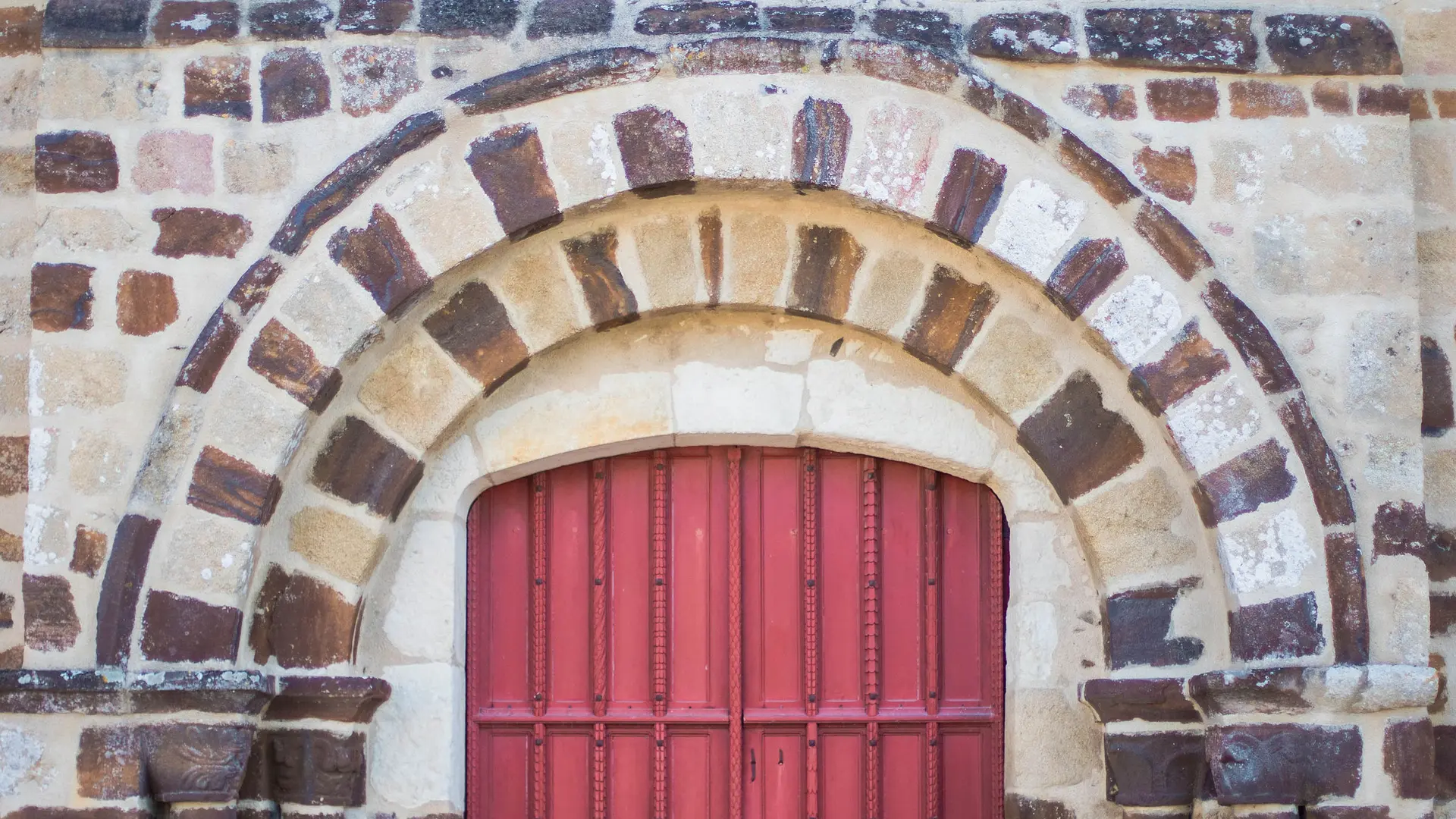
Along the back roads, you'll discover Montmirail, a small town full of character. The village is well deserving of the name, as it has retained its medieval structure thanks to its development around the castle's bailey. This 15th-century medieval castle, listed as a Historic Monument, is built on one of the highest points in the Sarthe.
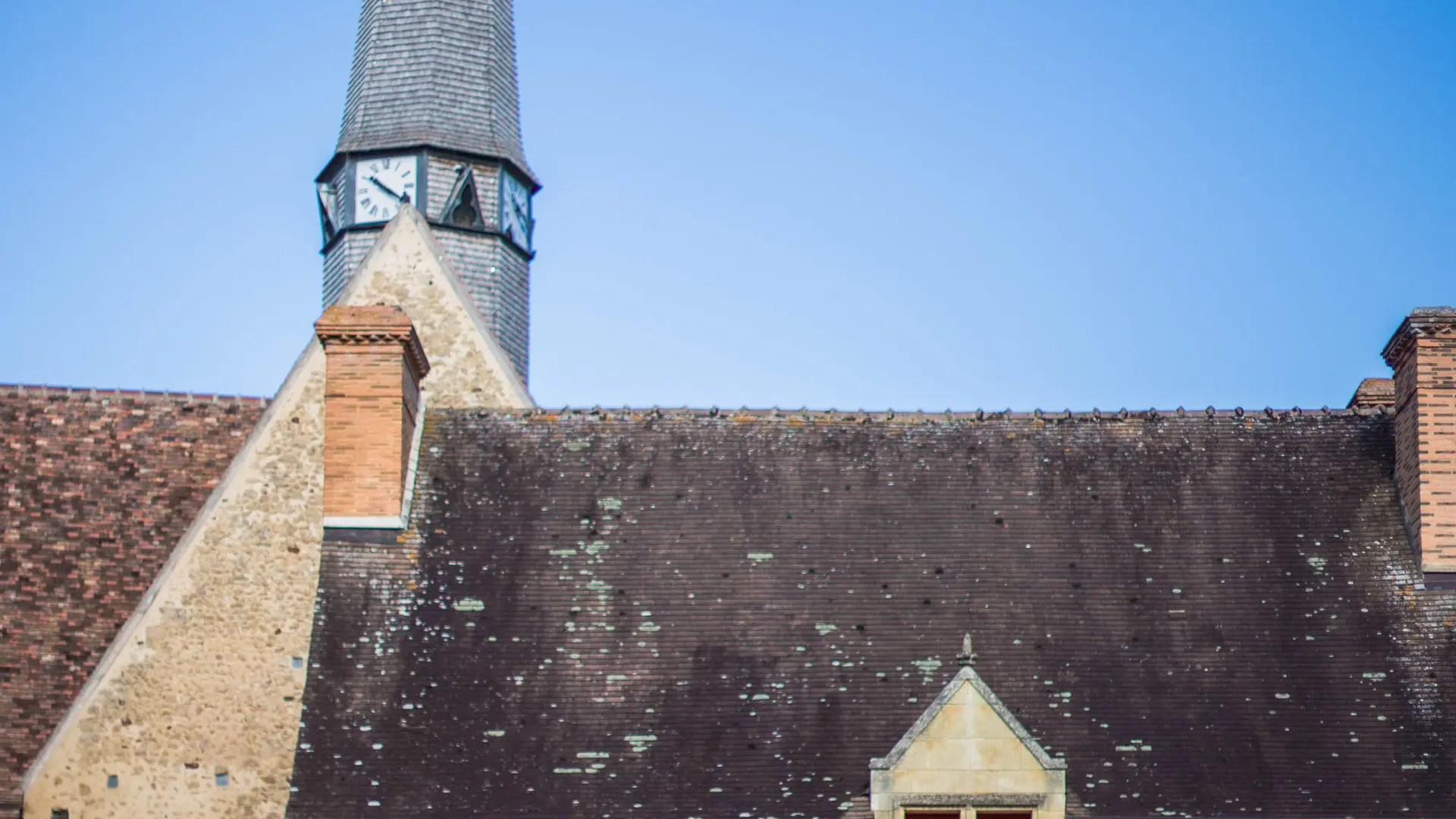
Along the way, stop off to see the Church of Saint-Jean-Baptiste in Saint-Jean-des-Echelles, the Church of Saint-Martin in Lamnay and the Church of Saint-Maixent.
In Saint-Maixent, take the opportunity to stop in front of the former home of the poet, painter and composer Tristan Klingsor, purchased in 1935.
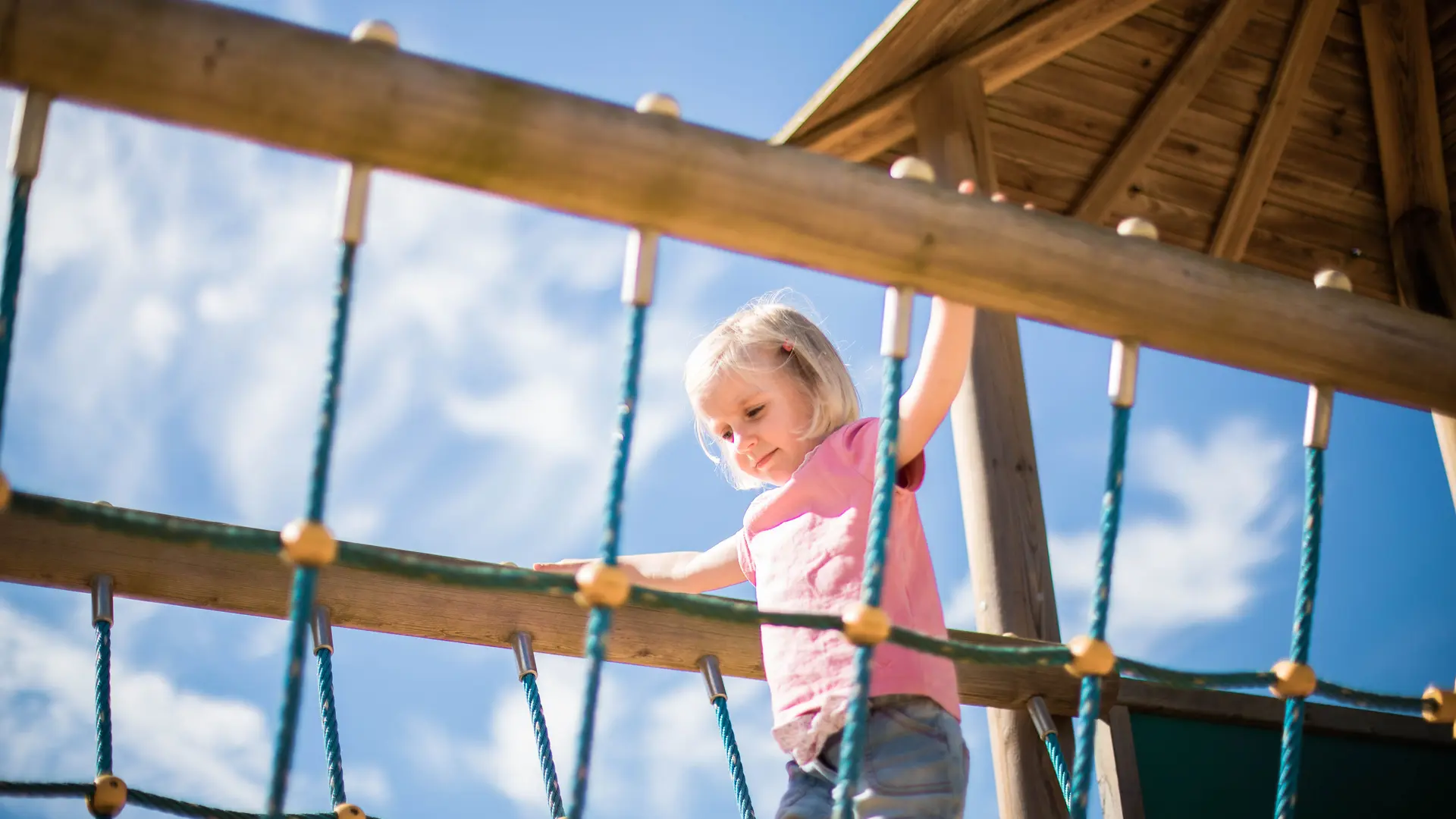
Continue on through Bouër and its Eglise Saint-Pierre before reaching Lavaré, the Romanesque church of Saint-Pierre and the priory. For relaxation and entertainment, stop off at the leisure centre.
Your route will then take you through the forest to Vibraye.
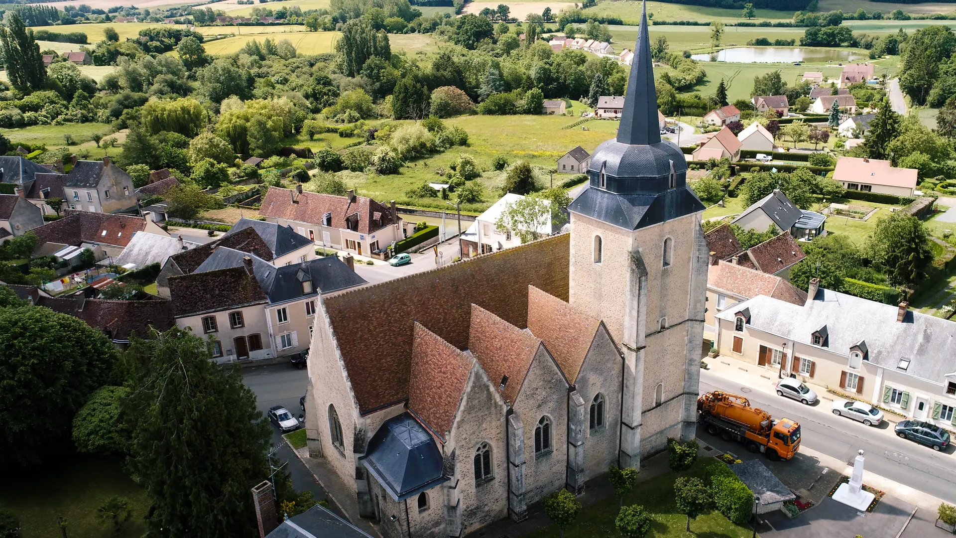
Once there, you can see the Church of Saint-Jean-Baptiste and the site of the medieval abbey of Saint-Laurent du Gué-de-Launay.
- Follow signs n°12 (dark green)
- Loop connected to circuits 11, 13 and 14
The complete guide "Le Perche Sarthois à vélo" is available for €3 from tourist offices and bookshops in Sarthe.