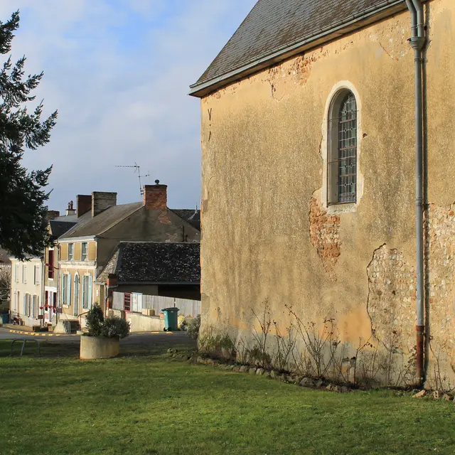
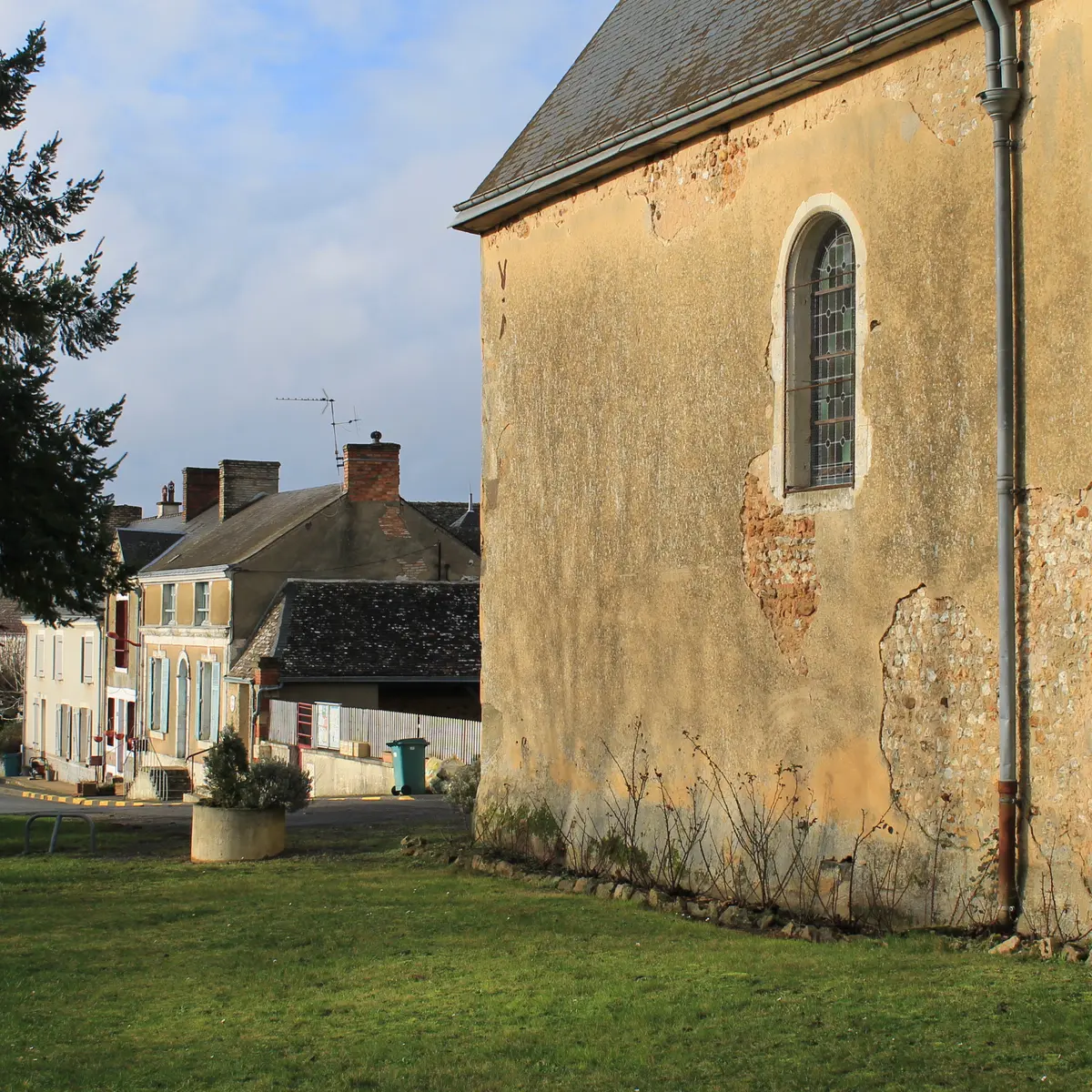
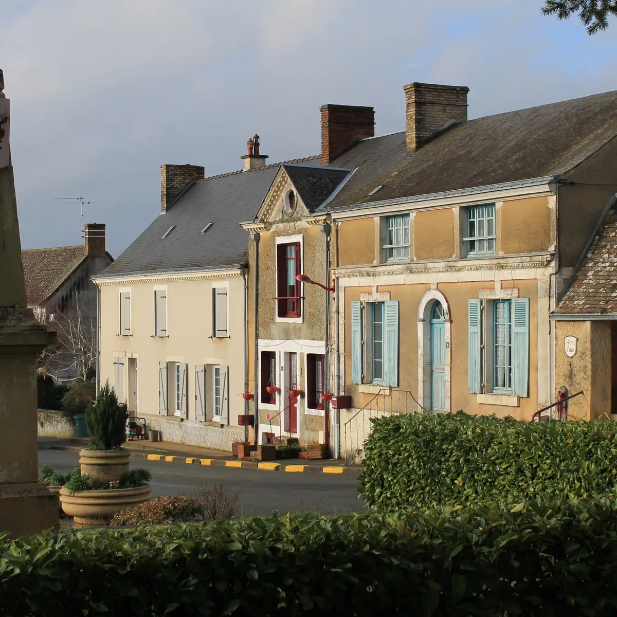
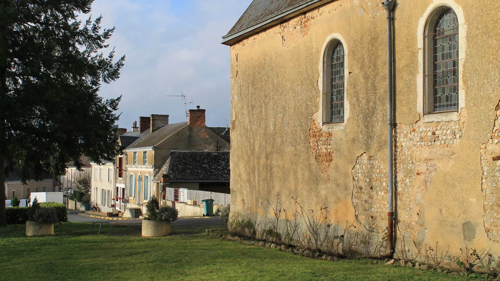
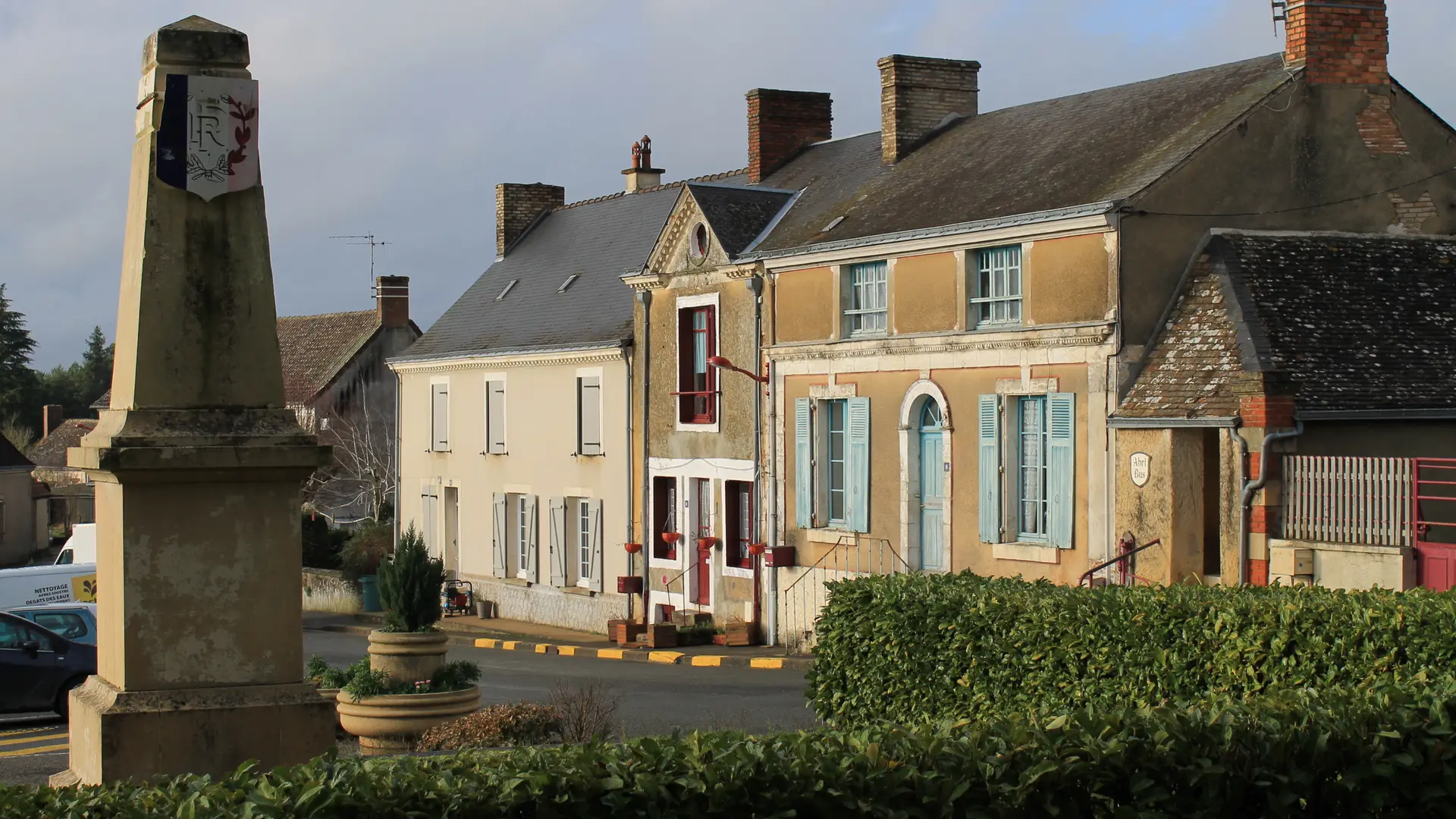
Since 2025, Val-de-la-Hune has been a new commune, bringing together the communes of Saint-Mars-de-Locquenay and Volnay.
The name adopted at the time of the merger refers to the location of the two market towns in the valley where the Arche and Hune streams meet. The area has been occupied since time immemorial, as evidenced by the Neolithic dolmen on the border with Tresson and the ancient Via Turniacensis road linking Le Mans to Blois, which passed through Volnay and Saint-Mars-de-Locquenay before heading towards the Loir Valley. This favoured the development of large agricultural estates, which explains the presence of numerous fiefs in medieval times, of which few remains remain (Champion, Pois, le Grand Yvay, Mélève, Sargilet), with the exception of La Chesnaye, which included most of them during the Modern era (16th-18th centuries).
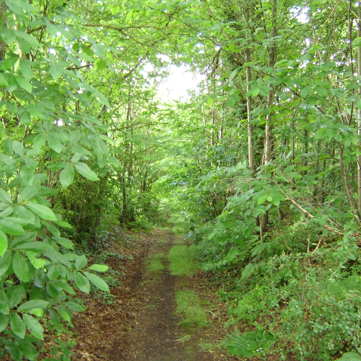
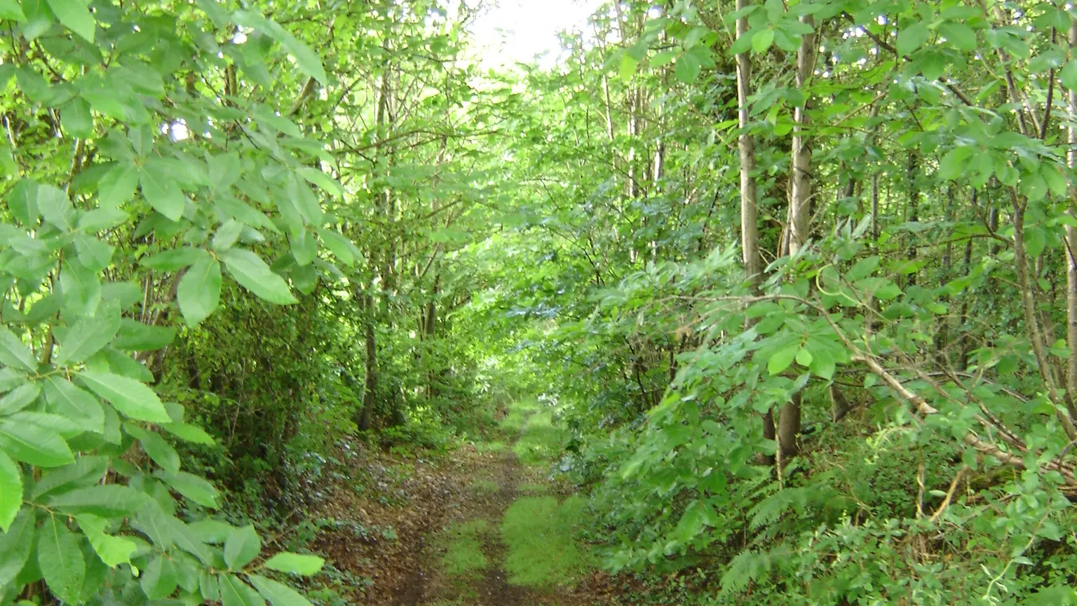
Map and full description of the route available in the Guide Rando du Perche Sarthois (50 routes).
On sale at tourist offices in the Perche Sarthois for €10.